
GLOBE Surface Temperature
Naperville Community Unit School District 203
December 1, 2007
| We
started taking Surface Temperatures with our new Infrared Thermometer at
the Morton Arboretum. We had one
volunteer student brave the cold weather on the first day of December. On
December 6, we went to Steeple Run School in Naperville Illinois and added
them to the growing list of schools in the Surface
Temperature Field Campaign led by Dr. Kevin
Czajkowski, Associate Professor
at The University of Toledo. Click here to read his Blog: http://www.globe.gov/fsl/scientistsblog/?page_id=58
On the Week of December 17 Ms. Kouri's 4th and 5th grade students from Highlands School joined the campaign. Click here for pictures.
|

Student takes a surface temperature near our soil temperature sensor. It was 6 degrees warmer 10 cm underground. |

This is our Morton Arboretum GLOBE Weather Station. See the green arrow on the map below to see our location. |
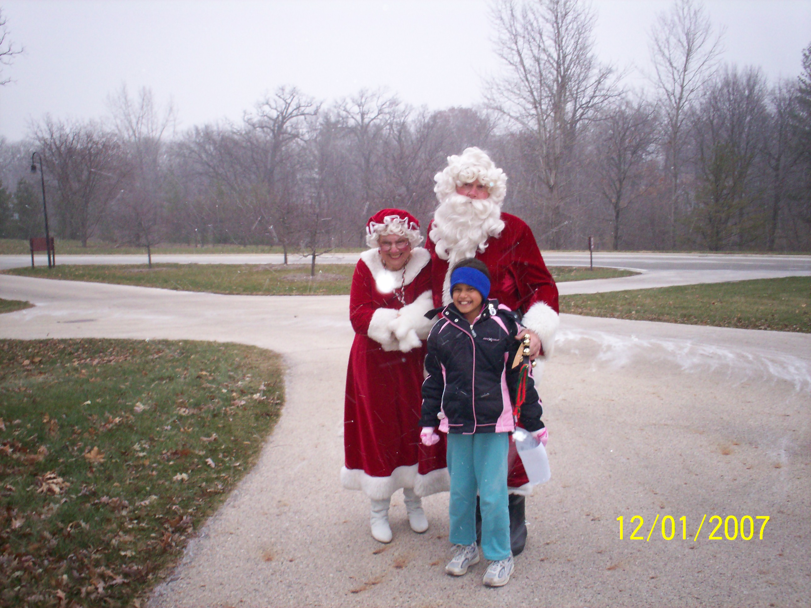
We thought we were in the North Pole when Mr. And Mrs. Santa stopped by. |
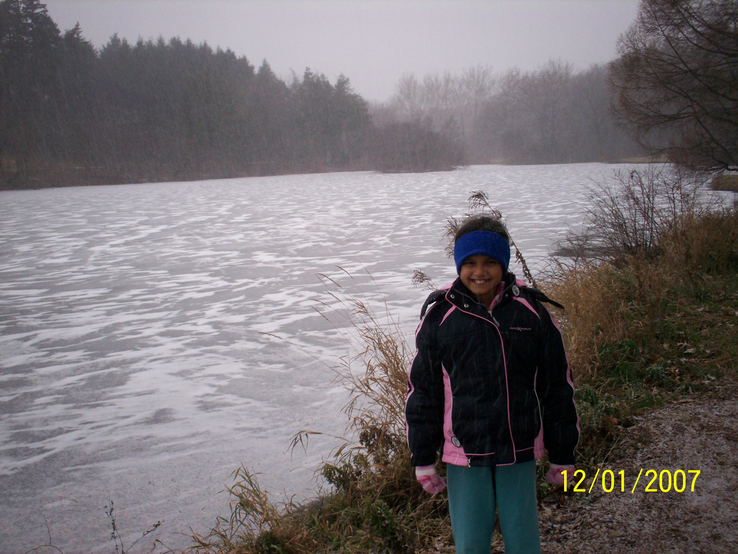
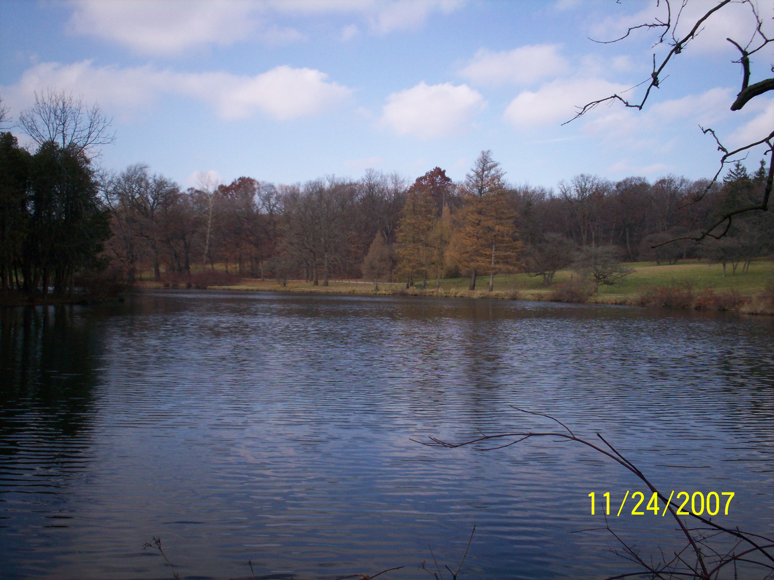
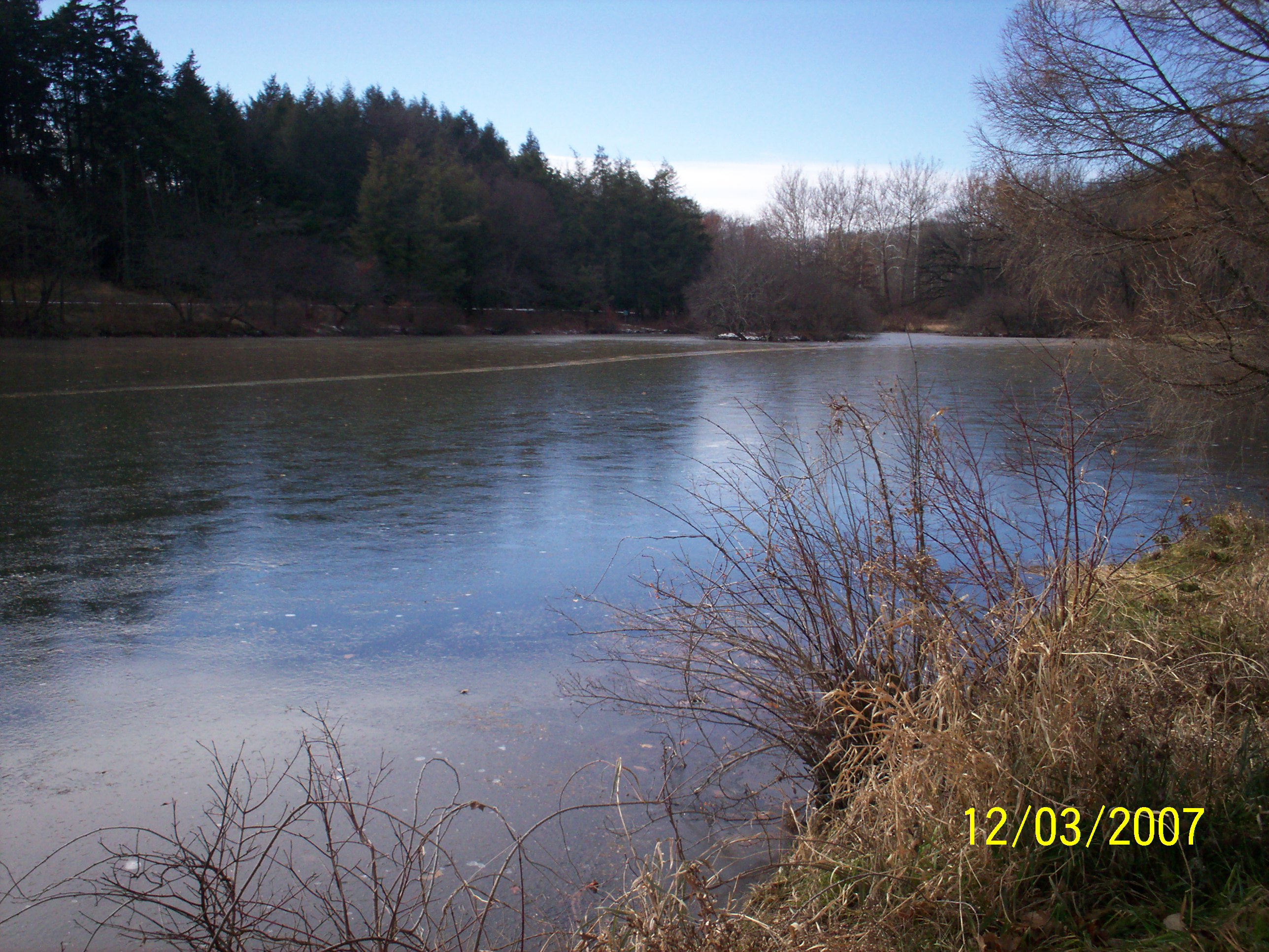
We were surprised to see that Lake Marmo, had ice from shore to shore. This view is looking southwest. See Red Arrow on Map. |

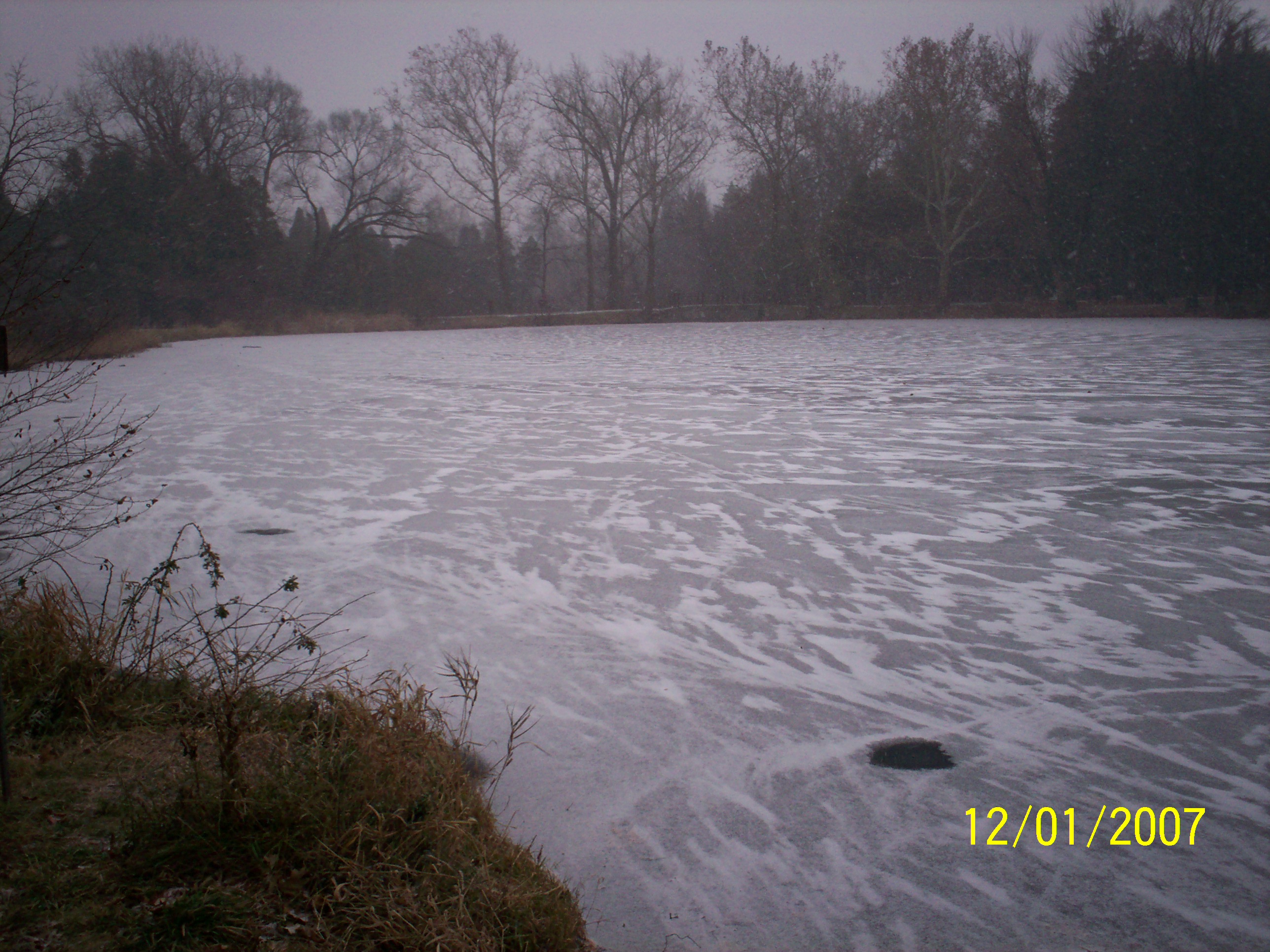
Looking South at Lake Marmo. GPS Reading: 216 Meters above Sea level. 41.81649 Degrees North and 88.02234 Degrees West |
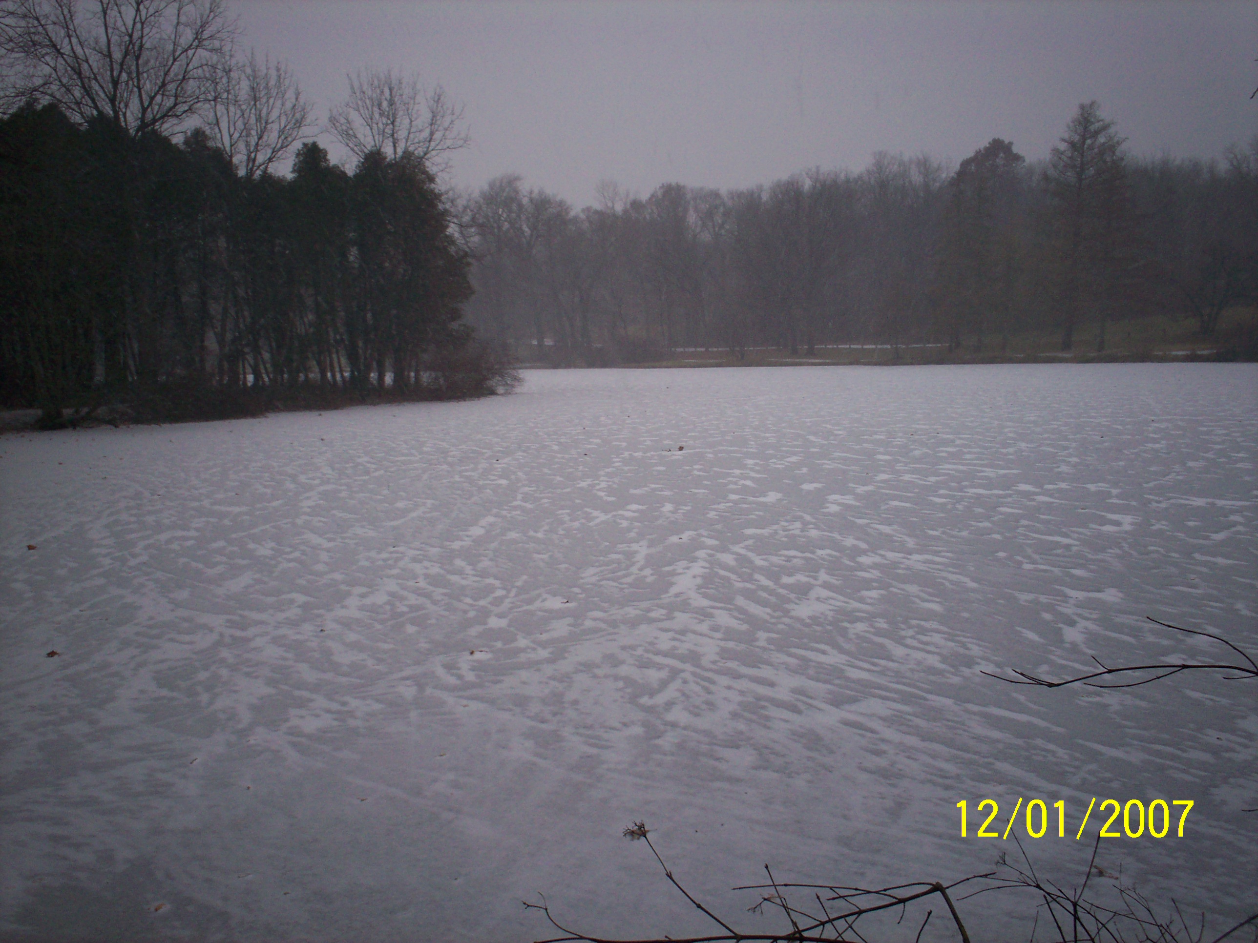
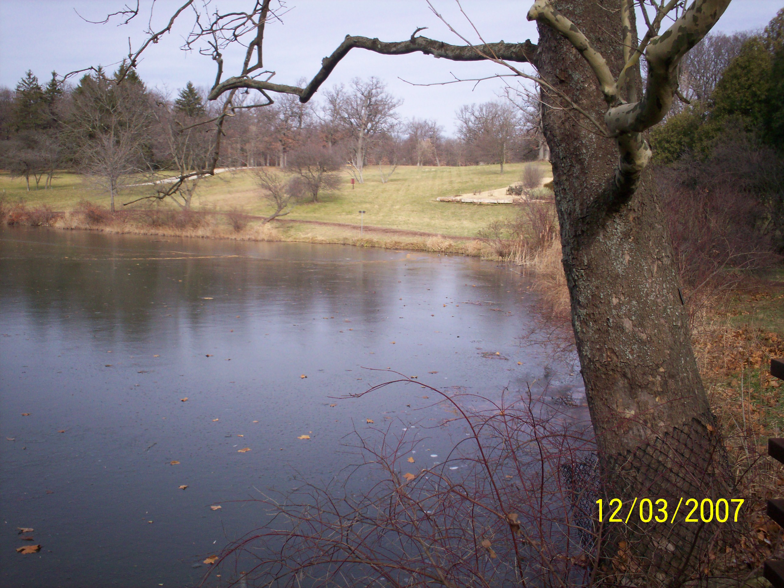
Looking South East, we observed one wet spot (Black circle just above the date stamp.) See Red Arrow on Map. |

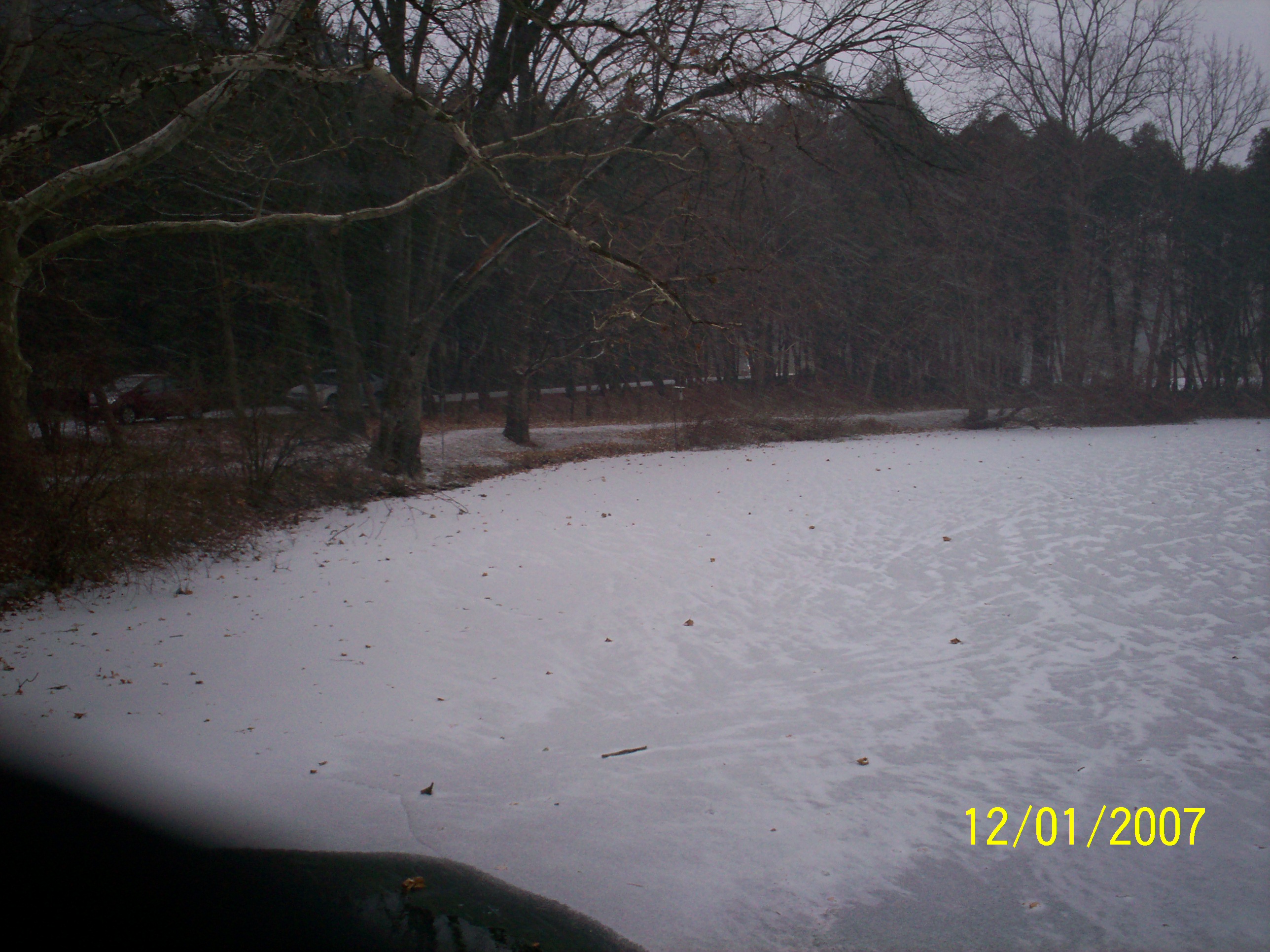
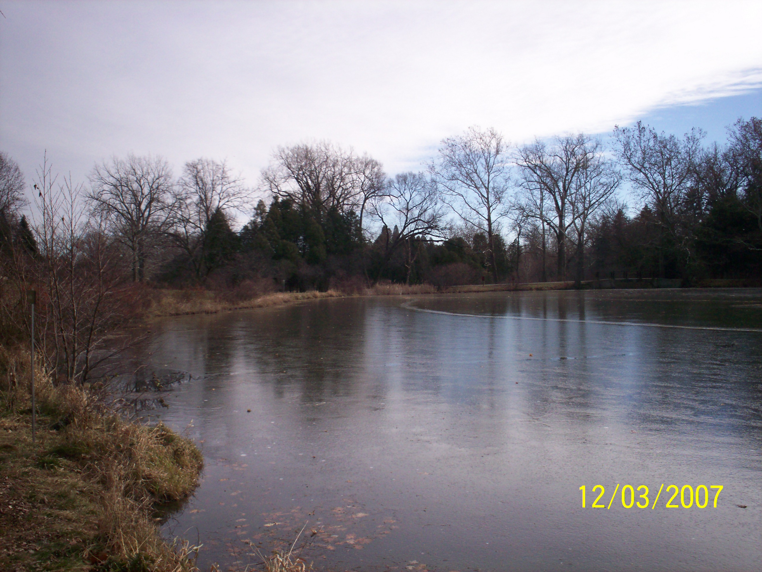
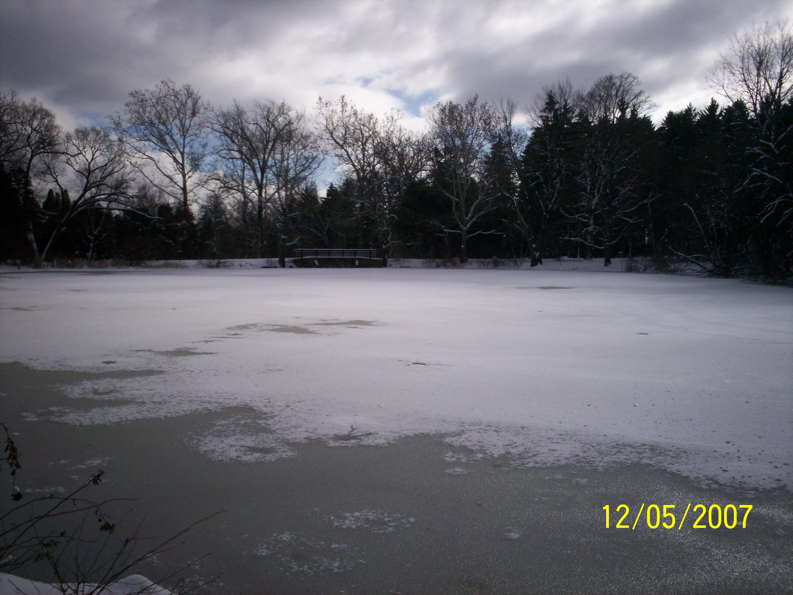
Last week, there was only a thin sheet of ice near this shore. This view is looking North from a bridge at the West end of Lake Marmo. See Yellow Arrow on Map. |
This is the same North view as we observed only a week later. The bridge is where the lake drains over a water fall into a stream that leads to Sterling Pond. See Yellow Arrow on Map. |
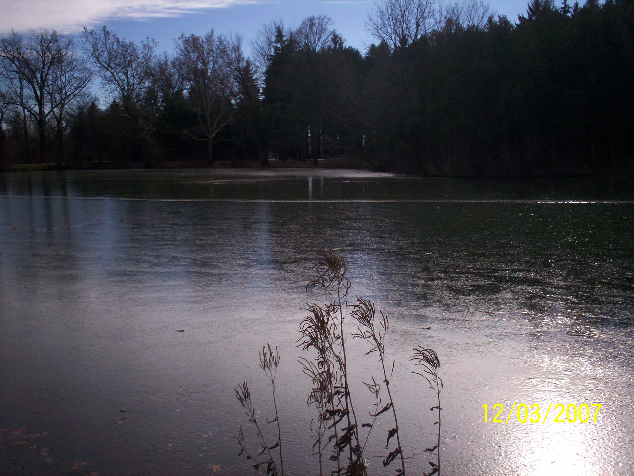
This view is looking Northeast from the bridge. GPS Reading: 216 Meters above Sea level. 41.81533 Degrees North and 88.0879 Degrees West. See Yellow Arrow on Map. |
This is the same Northeast view one week later. |
 |
 |
|
This is the view when looking East Northeast from the Bridge. See Yellow Arrow on Map. |
This is the same East Northeast view from the Bridge on 12/01/2007 See Yellow Arrow on Map. |
Green Arrow is where our weather station is located.
Red Arrow is where we took the pictures of Lake Marmo from shore.
Yellow Arrow is where we took the pictures of Lake Marmo from the bridge.

Looking South East, we observed one wet spot (Black circle just above the date stamp.) See Red Arrow on Map. |
Looking South at Lake Marmo. GPS Reading: 216 Meters above Sea level. 41.81649 Degrees North and 88.02234 West |
We were surprised to see that Lake Marmo, had ice from shore to shore. This view is looking southwest. See Red Arrow on Map. |

This view is looking North from a bridge at the West end of Lake Marmo. See Yellow Arrow on Map. |

This view is looking Northeast from the bridge. GPS Reading: 216 Meters above Sea level. 41.81533 Degrees N. and 88.0879 W. |
This is the view when looking East Northeast from the Bridge. See Yellow Arrow on Map. |
View A from Shore (See the Diagram Below) |

View B from Shore |

View C from Shore |

View D from the Bridge |

View E from the Bridge |

View F from the Bridge |


On December 5th, 2007, we had 17 cm of Snow.
Click Here to go to DuPage River Freeze up pictures.
|
The chart above shows the albedo of various objects. Albedo - Percentage of reflected sun light in relation to the various surface conditions of the earth. |
Why do we study Surface Temperatures!
| Albedos of typical materials in visible light range from
up to 90% for fresh snow, to about 4% for charcoal, one of the darkest
substances. Deeply shadowed cavities can achieve an effective albedo
approaching the zero of a blackbody.
When seen from a distance, the ocean surface has a low albedo, as do most
forests, while desert areas have some of the highest albedos among
landforms. Most land areas are in an albedo range of .1 to .4.[5]
The average albedo of the Earth
is about 30%.[6][7]
This is far higher than for the ocean primarily because of the
contribution of clouds.
Human activities have changed the albedo (via forest clearance and farming, for example) of various areas around the globe. However, quantification of this effect is difficult on the global scale. The classic example of albedo effect is the snow-temperature feedback. If a snow covered area warms and the snow melts, the albedo decreases, more sunlight is absorbed, and the temperature tends to increase. The converse is true: if snow forms, a cooling cycle happens. The intensity of the albedo effect depends on the size of the change in albedo and the amount of insolation; for this reason it can be potentially very large in the tropics. Taken from Wikipedia, the free encyclopedia. |
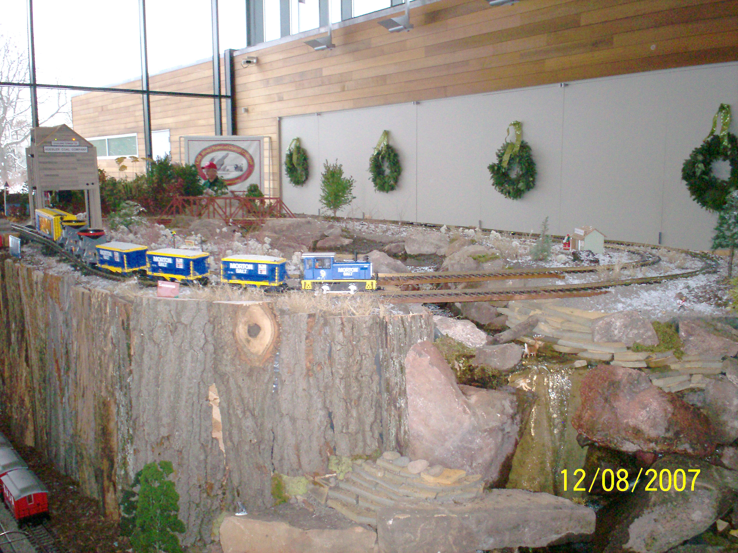
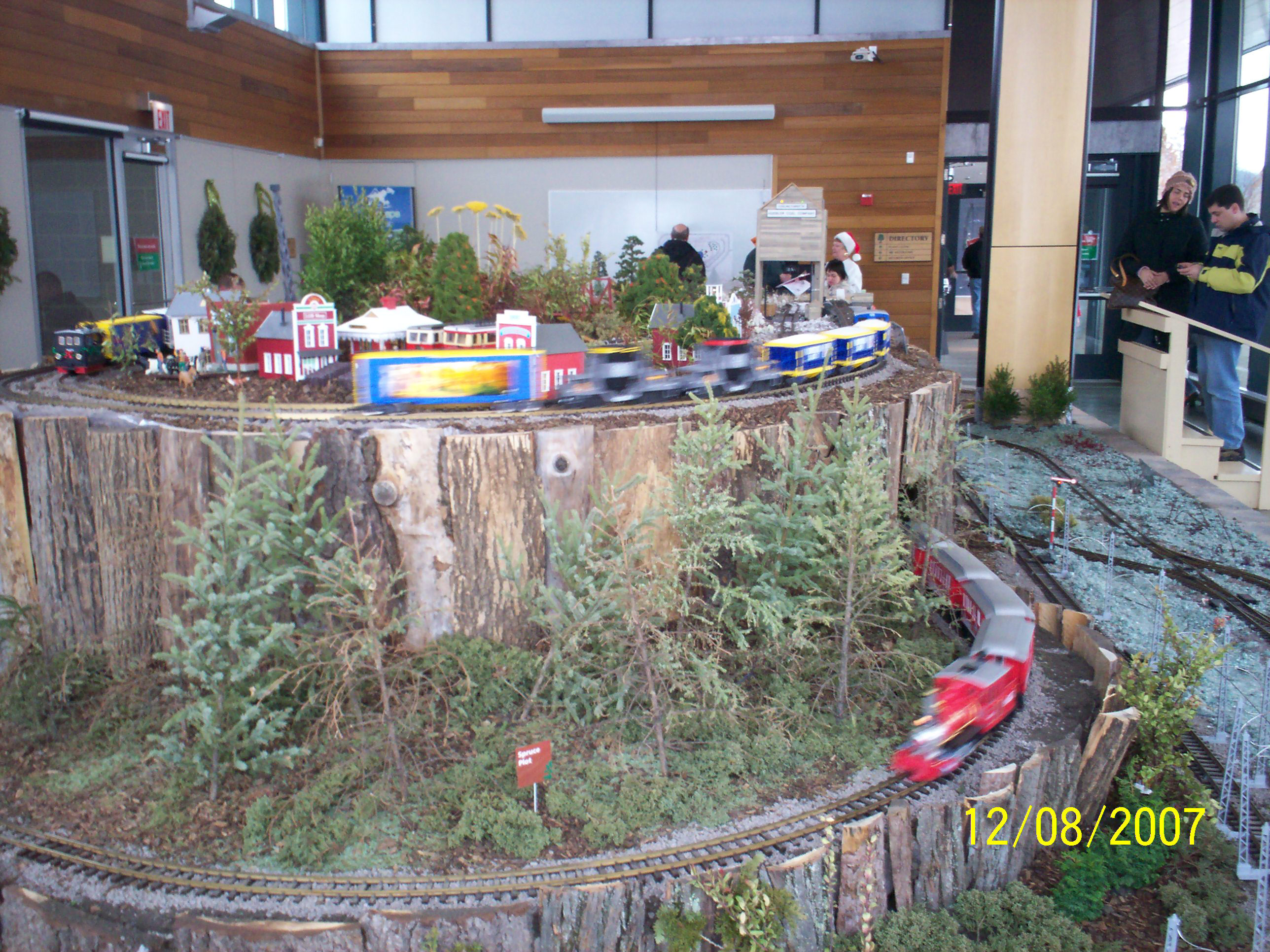
The Arboretum Express
Volunteer students got to see the Arboretum Express.
 |
 |
 |
 |
|
Information about the GLOBE program GLOBE is and
acronym for Global Learning and Observations to Benefit the Environment. GLOBE is a
global environmental program that uses the internet to share student’s
observations and measurements with other GLOBE students and scientist. My Randolph School students have recorded over 8000 environmental
measurements during my 6 years in the program. I was trained for GLOBE at University of
Illinois Urbana March 1995 I served as a GLOBE Teacher Trainer at the following places: University of
Illinois Urbana August 1995 Drexel University
in Philadelphia August, 1996 New York University October 1996 Ohio Aerospace
Institute November, 1996 University of
Illinois Urbana March, 1997 New
Hampshire April, 1997 University of
Iowa October, 1997 University of Colorado January, 1998 Ohio Aerospace
Institute November, 1998 Charleston West Chester
PA October, 2000
http://www.geocities.com/glopatka/west.htm
In September of 2003, the Naperville School District 203 formed a partnership with the GLOBE Program. We have performed Teacher workshops in the following places: Highland Park, Illinois July, 2005 Workshop Park Ridge, Illinois September, 2005 GLOBE Stars GLOBE Hydrology Study websites: Steeple Run Spring 2005 Hydrology in Naperville Steeple Run Fall 2005 Hydrology in Naperville Steeple Run Spring 2006 Hydrology in Naperville Steeple Run Fall 2006 Hydrology in Naperville Steeple Run Spring 2007 Hydrology in Naperville Steeple Run students at the Morton Arboretum 2005 Steeple Run Soil Temperature Steeple Run Bass Release Steeple Run Rocket Day Steeple Run and Highlands Bass release 11/4/06 Highlands School 10/14/05 Hydrology at Highlands School Highlands School 10/11/07 Hydrology at Highlands School Highlands School macro invertebrates study. Highlands School Bass Release Highlands School Site Definition Randolph School Hydrology at Marquette Park http://www.geocities.com/glopatka/ranhydro2.html Fall Pnenology 2007 GLOBE Program: http://www.globe.gov |
